Duration1 Hour
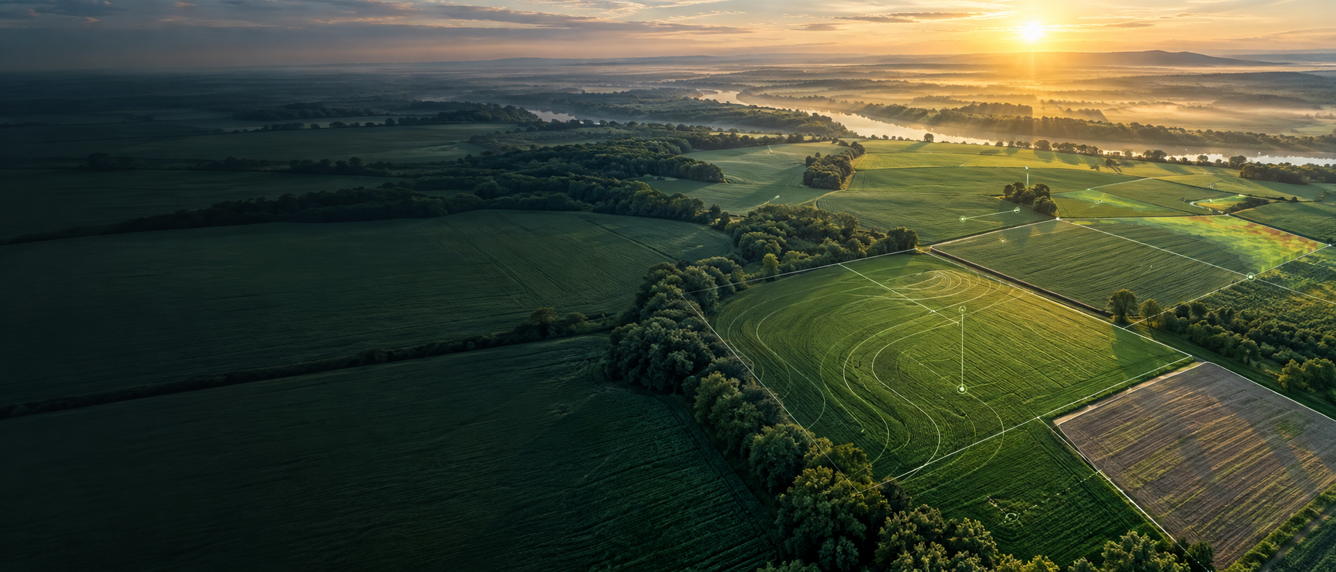
Celebrating GIS Day with Earth Scan Systems
GIS DAY 2026
Maps to
Impact.
Geospatial intelligence for food security.
A one hour hybrid session exploring GIS, Earth Observation, AI and intelligent agriculture.
Event at a glance
FormatOnsite & Online
ParticipationOpen to Public
PresenterDr. Mobushir Riaz Khan
01 A changing landscape
The map was
just the beginning.
GIS has moved from showing us where things are to helping us understand what to do next.
A one hour session exploring the evolution of GIS from mapping and spatial analysis to Earth Observation, AI, automation and intelligent decision support, with a particular focus on agriculture, climate resilience and food security. The presentation connects more than two decades of geospatial development with operational applications and the emerging future of GeoAI, IoT and robotics.
Follow the evolution ↘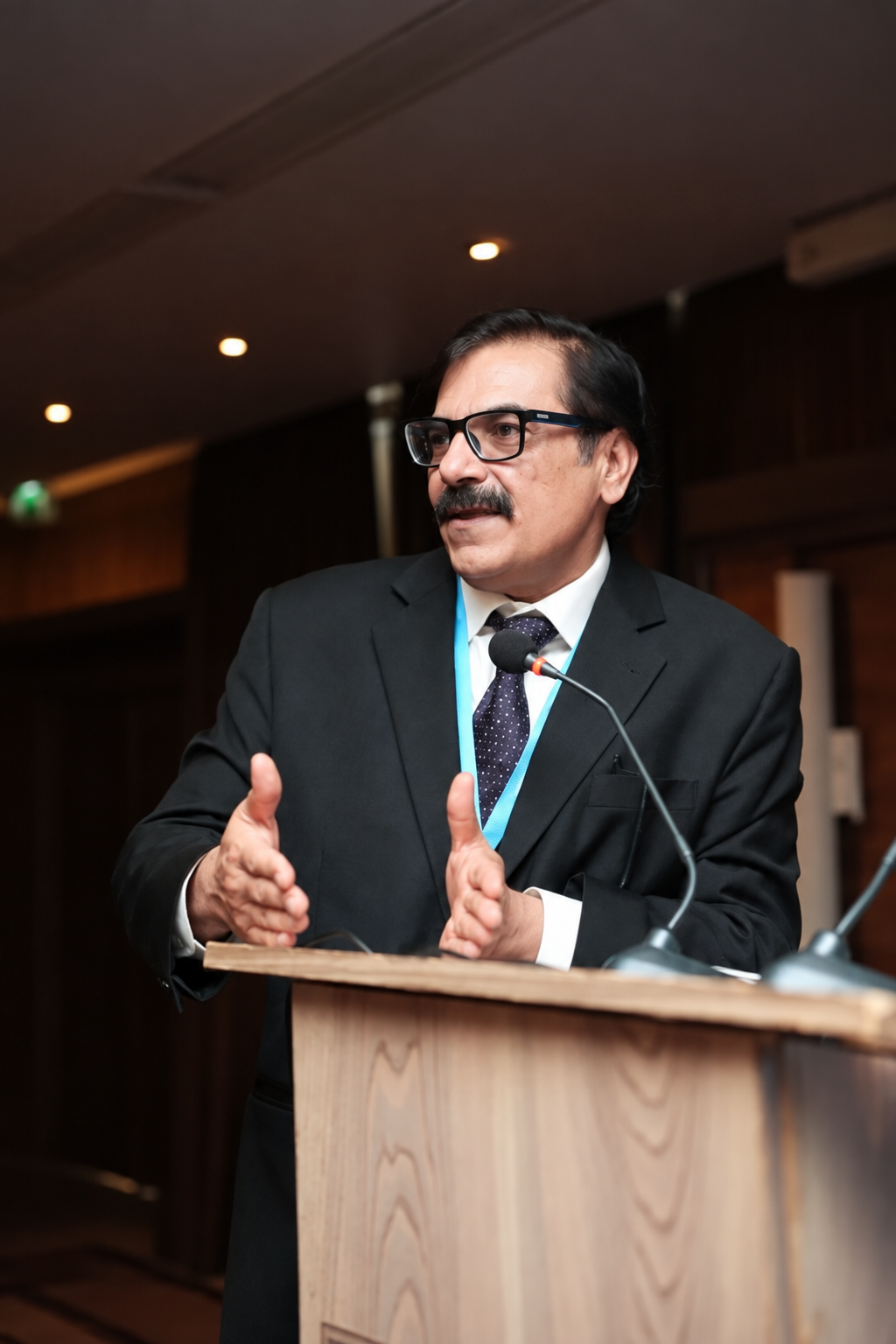 FEATURED PRESENTER
GIS DAY 2026
02 Meet the presenter
Dr. Mobushir
Riaz Khan.
Agricultural Transformation Leader, Digital Agriculture and Geospatial Expert
Dr. Mobushir Riaz Khan has more than 25 years of experience across agriculture, remote sensing, GIS, climate, water and food security. His work bridges science, technology and practical agricultural decision making, translating Earth Observation, AI, IoT and geospatial intelligence into operational solutions for farmers, industry and government.
03 The evolution of geospatial intelligence
From Prediction
to Practice.
Geospatial intelligence keeps moving closer to the decisions that matter on the ground.
GIS and the Emerging Era of Automation
GIS expanded beyond basic digital mapping into spatial analysis, modelling, automated workflows, data integration and decision support.
Connected intelligence
Location + Data + Action
04 Intelligence in the field
One connected
picture.
Each layer brings a different view of the land. Together, they turn complex data into clearer agricultural decisions.
Earth Observation
Mapping crops, agricultural resources and change across landscapes.
- Agricultural & land-resource mapping
- Vegetation monitoring
- Environmental change detection
- Field-level analysis
Crop Intelligence
Crop identification, acreage, phenology, vegetation performance and production intelligence.
- Crop identification & acreage
- Phenology tracking
- Crop-condition assessment
- Production intelligence
Climate & Water Intelligence
Weather, climate risk, ETo, PET, actual ET, crop-water requirements and irrigation management.
- Weather & climate-risk assessment
- Evapotranspiration intelligence
- Crop-water requirements
- Irrigation planning
Precision Agriculture
Moving from regional intelligence to field-level variability and management zones.
- Spatial variability detection
- Management zones
- Site-specific decisions
- Input optimization
IoT & Connected Agriculture
Weather stations, soil and water sensing, telemetry, groundwater monitoring and field automation.
- Weather, soil & water sensors
- Groundwater monitoring
- Telemetry
- Connected farm systems
Artificial Intelligence
AI analytics, computer vision, open LLM-based agricultural knowledge and AI-powered farm advisory.
- Machine learning
- Computer vision
- Predictive analysis
- Automated decision support
05 Location meets learning
Say hello to
GeoAI.
GeoAI combines GIS, Earth Observation, artificial intelligence, spatial analytics and machine learning.
01What is happening?02Why is it happening?03What may happen next?04What action should be taken?
06 Intelligence becomes action
Automation
& Robotics.
Connecting location, sensing, intelligence and machines for increasingly autonomous agricultural operations.
Location+Sensing+Intelligence+Machines
- Automated monitoring
- Smart irrigation
- Variable-rate operations
- Autonomous field systems
- Agricultural robotics
- Intelligent farm operations
07 The purpose behind the innovation
A reminder at the heart of every new tool.
Technology was never
the destination.
Food security was the purpose.
For ESS, innovation is meaningful when it helps answer practical questions.
What is happening in the field?Where is intervention required?How much water does a crop need?How is vegetation performing?What risks are developing?How can resources be used more efficiently?
08 The GIS Day takeaway
From Maps
to Impact.
GIS has evolved from simply understanding where things are to supporting intelligent decisions about what comes next.
What is
happening.
Why it is
happening.
What may happen
next.
What action
should be taken.
09 Be part of the conversation
Join Us for
GIS Day 2026.
Discover how more than two decades of geospatial development are shaping the future of agriculture, climate resilience, intelligent decision-making and food security.
- Duration1 Hour
- FormatHybrid · Onsite and Online
- ParticipationOpen to Public